Farm land north-west of Spring Hill, Wolverhampton
Introduction
The photograph on this page of Farm land north-west of Spring Hill, Wolverhampton by Roger D Kidd as part of the Geograph project.
The Geograph project started in 2005 with the aim of publishing, organising and preserving representative images for every square kilometre of Great Britain, Ireland and the Isle of Man.

There are currently over 7.5m images from over 14,400 individuals and you can help contribute to the project by visiting https://www.geograph.org.uk
Farm land north-west of Spring Hill, Wolverhampton
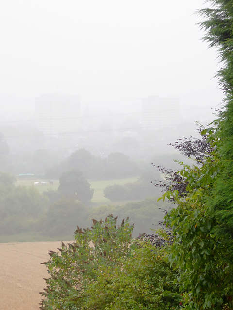
Image: © Roger D Kidd Taken: 25 Aug 2016
Staffordshire farmland near the Wolverhampton urban border. This telephoto assisted image shows the Merry Hill tower blocks in the mist, about a mile away.
Images are licensed for reuse under creativecommons.org/licenses/by-sa/2.0
Image Location
Latitude
52.558012
Longitude
-2.178877