Stock Park
Introduction
The photograph on this page of Stock Park by Simon Carey as part of the Geograph project.
The Geograph project started in 2005 with the aim of publishing, organising and preserving representative images for every square kilometre of Great Britain, Ireland and the Isle of Man.

There are currently over 7.5m images from over 14,400 individuals and you can help contribute to the project by visiting https://www.geograph.org.uk
Stock Park
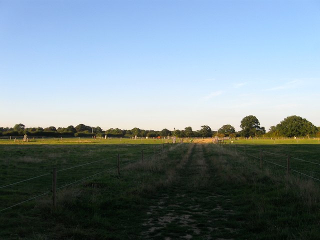
Image: © Simon Carey Taken: 26 Aug 2016
The name of the field according to West Grinstead's 1841 tithe map that is bounded by Image to the north west and Image to the south east. Stock Park had been a medieval deer park that existed from the 13th century until disparked in the early 16th.
Images are licensed for reuse under creativecommons.org/licenses/by-sa/2.0
Image Location
Latitude
50.970674
Longitude
-0.359106