Rock face in Garrawy Glen
Introduction
The photograph on this page of Rock face in Garrawy Glen by Lairich Rig as part of the Geograph project.
The Geograph project started in 2005 with the aim of publishing, organising and preserving representative images for every square kilometre of Great Britain, Ireland and the Isle of Man.

There are currently over 7.5m images from over 14,400 individuals and you can help contribute to the project by visiting https://www.geograph.org.uk
Rock face in Garrawy Glen
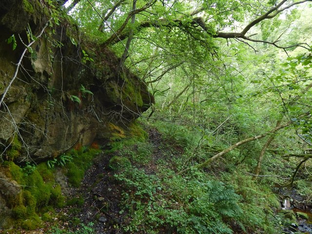
Image: © Lairich Rig Taken: 17 Aug 2016
The burn is on the right (east), but the picture is intended to show the rock face on the western side of the glen. The waterfall that is marked on the 1:25000 map is just upstream, but was not well seen from here on account of the dense tree cover. For a view in the opposite direction, see Image
Images are licensed for reuse under creativecommons.org/licenses/by-sa/2.0
Image Location
Latitude
56.009603
Longitude
-4.704099