Newcastle-under-Lyme: building site on Lower Street
Introduction
The photograph on this page of Newcastle-under-Lyme: building site on Lower Street by Jonathan Hutchins as part of the Geograph project.
The Geograph project started in 2005 with the aim of publishing, organising and preserving representative images for every square kilometre of Great Britain, Ireland and the Isle of Man.

There are currently over 7.5m images from over 14,400 individuals and you can help contribute to the project by visiting https://www.geograph.org.uk
Newcastle-under-Lyme: building site on Lower Street
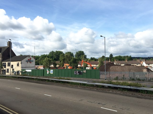
Image: © Jonathan Hutchins Taken: 13 Aug 2016
A comparison with Image shows that the extension behind Maxims has been demolished, and the rest of the site is under development, to become a 74 bed care home for the elderly with 28 apartments and ancillary facilities, while Maxims itself is to be refurbished for offices, a hair salon, café, bar and "heritage rooms". Six weeks later this was the view http://www.geograph.org.uk/photo/5128612
Images are licensed for reuse under creativecommons.org/licenses/by-sa/2.0
Image Location
Latitude
53.011083
Longitude
-2.231123