Looking north along Ryland Way
Introduction
The photograph on this page of Looking north along Ryland Way by John Baker as part of the Geograph project.
The Geograph project started in 2005 with the aim of publishing, organising and preserving representative images for every square kilometre of Great Britain, Ireland and the Isle of Man.

There are currently over 7.5m images from over 14,400 individuals and you can help contribute to the project by visiting https://www.geograph.org.uk
Looking north along Ryland Way
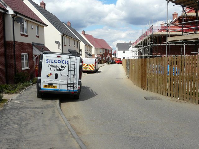
Image: © John Baker Taken: 31 Jul 2016
Compared with Image, houses are now being constructed on the right side of the road. This is part of the Bridgefield housing estate.
Images are licensed for reuse under creativecommons.org/licenses/by-sa/2.0
Image Location
Latitude
51.115128
Longitude
0.880966