Fullers Bungalow, Park Lane, West Grinstead
Introduction
The photograph on this page of Fullers Bungalow, Park Lane, West Grinstead by Simon Carey as part of the Geograph project.
The Geograph project started in 2005 with the aim of publishing, organising and preserving representative images for every square kilometre of Great Britain, Ireland and the Isle of Man.

There are currently over 7.5m images from over 14,400 individuals and you can help contribute to the project by visiting https://www.geograph.org.uk
Fullers Bungalow, Park Lane, West Grinstead
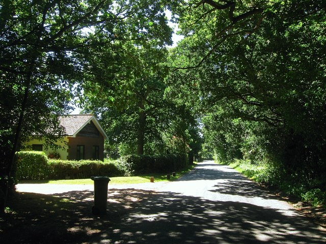
Image: © Simon Carey Taken: 23 Aug 2016
Located to the north of Image and built between the wars though much extended since. Fullers Farm is now located to the rear of this property.
Images are licensed for reuse under creativecommons.org/licenses/by-sa/2.0
Image Location
Latitude
50.986262
Longitude
-0.316953