Access ramp to bed of River Ebbw, Aberbeeg
Introduction
The photograph on this page of Access ramp to bed of River Ebbw, Aberbeeg by M J Roscoe as part of the Geograph project.
The Geograph project started in 2005 with the aim of publishing, organising and preserving representative images for every square kilometre of Great Britain, Ireland and the Isle of Man.

There are currently over 7.5m images from over 14,400 individuals and you can help contribute to the project by visiting https://www.geograph.org.uk
Access ramp to bed of River Ebbw, Aberbeeg
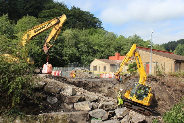
Image: © M J Roscoe Taken: 24 Aug 2016
Temporary ramp from the west bank into the river to allow construction of a bridge to carry a cycle route; a similar view to Image
Images are licensed for reuse under creativecommons.org/licenses/by-sa/2.0
Image Location


Leaflet Map data © OpenStreetMap
Latitude
51.709524
Longitude
-3.145477