Dry Carr Lane, Midgley
Introduction
The photograph on this page of Dry Carr Lane, Midgley by Humphrey Bolton as part of the Geograph project.
The Geograph project started in 2005 with the aim of publishing, organising and preserving representative images for every square kilometre of Great Britain, Ireland and the Isle of Man.

There are currently over 7.5m images from over 14,400 individuals and you can help contribute to the project by visiting https://www.geograph.org.uk
Dry Carr Lane, Midgley
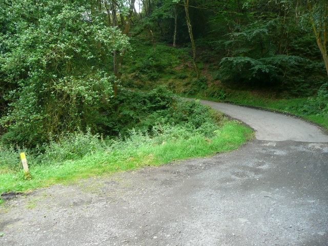
Image: © Humphrey Bolton Taken: 18 Aug 2016
The former Midgley Urban District was abolished in 1939 and split between Sowerby Bridge and Wadsworth. The change of surface is at the boundary, as Dry Carr Lane in Sowerby bridge is an adopted highway, whereas Wood lane in Wadsworth is an unadopted lane and Bridleway 68. The waymark on the left is the one in Image
Images are licensed for reuse under creativecommons.org/licenses/by-sa/2.0
Image Location
Latitude
53.748993
Longitude
-1.95538