Oak Fields, Woodchurch Road
Introduction
The photograph on this page of Oak Fields, Woodchurch Road by John Baker as part of the Geograph project.
The Geograph project started in 2005 with the aim of publishing, organising and preserving representative images for every square kilometre of Great Britain, Ireland and the Isle of Man.

There are currently over 7.5m images from over 14,400 individuals and you can help contribute to the project by visiting https://www.geograph.org.uk
Oak Fields, Woodchurch Road
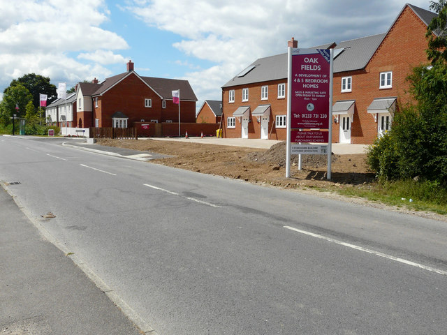
Image: © John Baker Taken: 31 Jul 2016
Compared with Image, the development, which was described in Ashford Borough Council’s planning application 14/00254/AS as the “erection of 17 new dwellings together with roads, access, sewers and external works”, is nearing completion.
Images are licensed for reuse under creativecommons.org/licenses/by-sa/2.0
Image Location
Latitude
51.107536
Longitude
0.812342