Ribston Hall High School
Introduction
The photograph on this page of Ribston Hall High School by HelenK as part of the Geograph project.
The Geograph project started in 2005 with the aim of publishing, organising and preserving representative images for every square kilometre of Great Britain, Ireland and the Isle of Man.

There are currently over 7.5m images from over 14,400 individuals and you can help contribute to the project by visiting https://www.geograph.org.uk
Ribston Hall High School
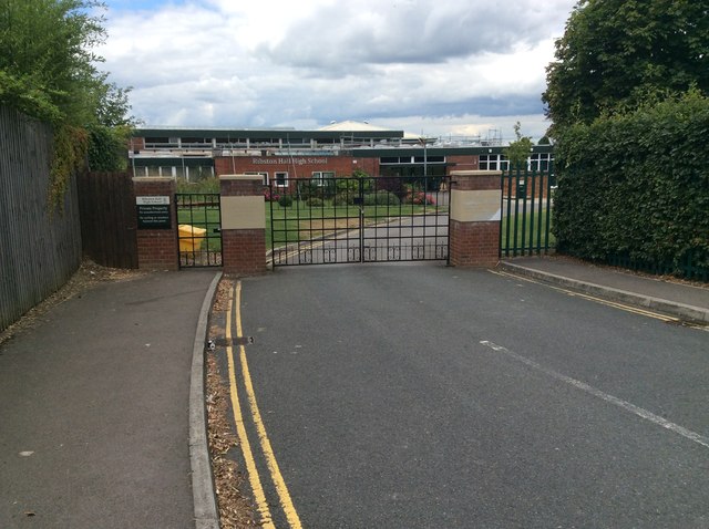
Image: © HelenK Taken: 30 Jul 2016
Located in the very Roman-sounding Via Ribston. This girls' school dates back to the 19th century. http://www.ribstonhall.gloucs.sch.uk/page/?title=Our+History&pid=11 The school shares this road with Ribston Mews, a gated development.
Images are licensed for reuse under creativecommons.org/licenses/by-sa/2.0
Image Location
Latitude
51.845856
Longitude
-2.243537