Ashton Way
Introduction
The photograph on this page of Ashton Way by Chris Heaton as part of the Geograph project.
The Geograph project started in 2005 with the aim of publishing, organising and preserving representative images for every square kilometre of Great Britain, Ireland and the Isle of Man.

There are currently over 7.5m images from over 14,400 individuals and you can help contribute to the project by visiting https://www.geograph.org.uk
Ashton Way
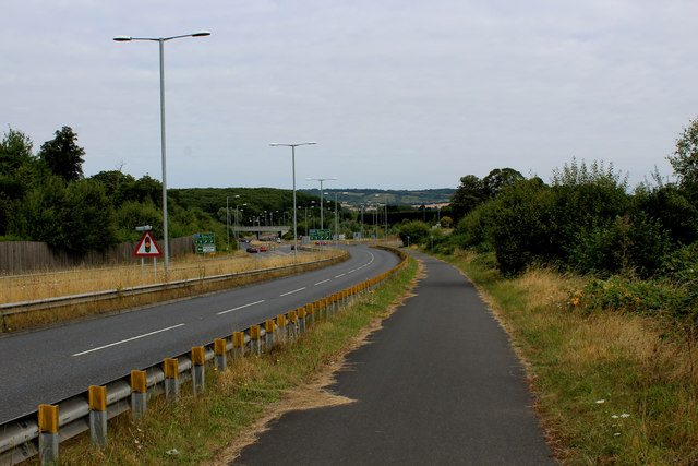
Image: © Chris Heaton Taken: 14 Aug 2016
The A228, which is effectively the West Malling Bypass at this point.
Images are licensed for reuse under creativecommons.org/licenses/by-sa/2.0
Image Location
Latitude
51.295196
Longitude
0.420269