Withy Lane, Manson near Monmouth
Introduction
The photograph on this page of Withy Lane, Manson near Monmouth by Jaggery as part of the Geograph project.
The Geograph project started in 2005 with the aim of publishing, organising and preserving representative images for every square kilometre of Great Britain, Ireland and the Isle of Man.

There are currently over 7.5m images from over 14,400 individuals and you can help contribute to the project by visiting https://www.geograph.org.uk
Withy Lane, Manson near Monmouth
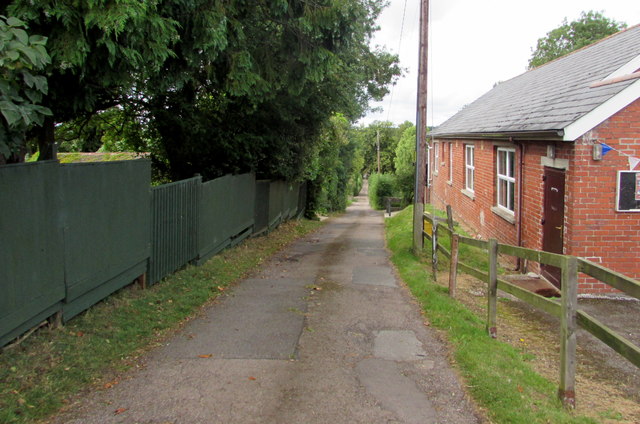
Image: © Jaggery Taken: 21 Aug 2016
Descending from the A466 Hereford Road past Buckholt Village Hall. http://www.geograph.org.uk/photo/2662459
Images are licensed for reuse under creativecommons.org/licenses/by-sa/2.0
Image Location
Latitude
51.830887
Longitude
-2.716679