M.O.T. Testing Centre, Bramhall Street, Warrington
Introduction
The photograph on this page of M.O.T. Testing Centre, Bramhall Street, Warrington by Matt Harrop as part of the Geograph project.
The Geograph project started in 2005 with the aim of publishing, organising and preserving representative images for every square kilometre of Great Britain, Ireland and the Isle of Man.

There are currently over 7.5m images from over 14,400 individuals and you can help contribute to the project by visiting https://www.geograph.org.uk
M.O.T. Testing Centre, Bramhall Street, Warrington
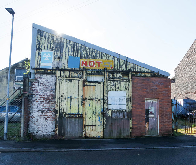
Image: © Matt Harrop Taken: 19 Aug 2016
Gloriously distressed old shed with a wedge of cheese on top.
Images are licensed for reuse under creativecommons.org/licenses/by-sa/2.0
Image Location
Latitude
53.386366
Longitude
-2.613089