Aviemore
Introduction
The photograph on this page of Aviemore by Richard Webb as part of the Geograph project.
The Geograph project started in 2005 with the aim of publishing, organising and preserving representative images for every square kilometre of Great Britain, Ireland and the Isle of Man.

There are currently over 7.5m images from over 14,400 individuals and you can help contribute to the project by visiting https://www.geograph.org.uk
Aviemore
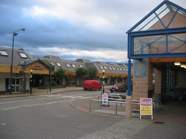
Image: © Richard Webb Taken: 7 Sep 2005
Row of houses built on spare land by the railway station. Loathe it or love it, but this is still a rapidly growing new town.
Images are licensed for reuse under creativecommons.org/licenses/by-sa/2.0
Image Location
Latitude
57.189018
Longitude
-3.831639