Barn Field/Bar Plat/Joslings Park
Introduction
The photograph on this page of Barn Field/Bar Plat/Joslings Park by Simon Carey as part of the Geograph project.
The Geograph project started in 2005 with the aim of publishing, organising and preserving representative images for every square kilometre of Great Britain, Ireland and the Isle of Man.

There are currently over 7.5m images from over 14,400 individuals and you can help contribute to the project by visiting https://www.geograph.org.uk
Barn Field/Bar Plat/Joslings Park
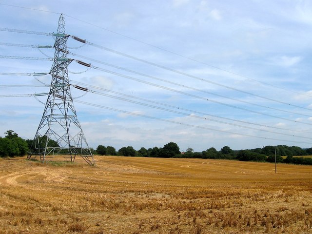
Image: © Simon Carey Taken: 16 Aug 2016
The name of the fields according to West Grinstead's 1841 tithe map that have been merged to form a larger unit. Joslings Park was in the foreground in front of the pylon running east-west adjacent to Image, Bar Plat was to the left including the pylon a nd a strip running up the western side next to Bar Lane, whilst Barn Field was to the right of the pylon and included the rest of the field beyond. The barn would have belonged to a former field that once lay beyond the hedgerow in the north east corner, see Image To the north is Image
Images are licensed for reuse under creativecommons.org/licenses/by-sa/2.0
Image Location
Latitude
51.000288
Longitude
-0.335543