Derelict farm building St Thomas Church yard
Introduction
The photograph on this page of Derelict farm building St Thomas Church yard by Anthony Vosper as part of the Geograph project.
The Geograph project started in 2005 with the aim of publishing, organising and preserving representative images for every square kilometre of Great Britain, Ireland and the Isle of Man.

There are currently over 7.5m images from over 14,400 individuals and you can help contribute to the project by visiting https://www.geograph.org.uk
Derelict farm building St Thomas Church yard
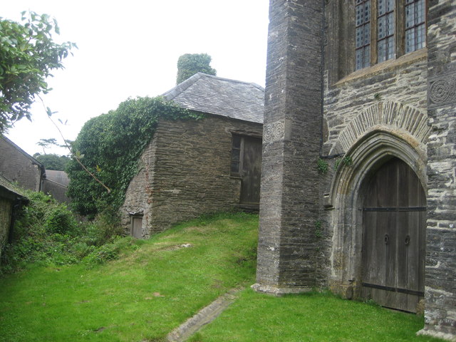
Image: © Anthony Vosper Taken: 11 Aug 2016
There is no obvious indication as to its original function.
Images are licensed for reuse under creativecommons.org/licenses/by-sa/2.0
Image Location


Leaflet Map data © OpenStreetMap
Latitude
51.177247
Longitude
-3.971881