Public Footpath through Industrial Estate, Lenham
Introduction
The photograph on this page of Public Footpath through Industrial Estate, Lenham by Chris Heaton as part of the Geograph project.
The Geograph project started in 2005 with the aim of publishing, organising and preserving representative images for every square kilometre of Great Britain, Ireland and the Isle of Man.

There are currently over 7.5m images from over 14,400 individuals and you can help contribute to the project by visiting https://www.geograph.org.uk
Public Footpath through Industrial Estate, Lenham
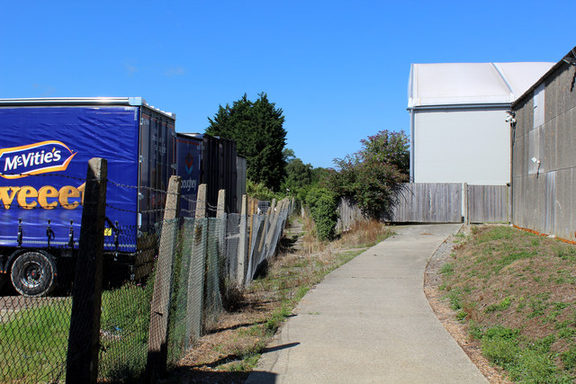
Image: © Chris Heaton Taken: 12 Aug 2016
The footpath runs from Robins Avenue to Ham Lane through the middle of an industrial estate. It is very well marked, with black and white painted squares to indicate the route in the more exposed places. There are also yellow barriers to protect pedestrians - I was told off by a politically correct foreman from stepping outside the indicated path.
Images are licensed for reuse under creativecommons.org/licenses/by-sa/2.0
Image Location
Latitude
51.236184
Longitude
0.704277