Manvers Street
Introduction
The photograph on this page of Manvers Street by John Sutton as part of the Geograph project.
The Geograph project started in 2005 with the aim of publishing, organising and preserving representative images for every square kilometre of Great Britain, Ireland and the Isle of Man.

There are currently over 7.5m images from over 14,400 individuals and you can help contribute to the project by visiting https://www.geograph.org.uk
Manvers Street
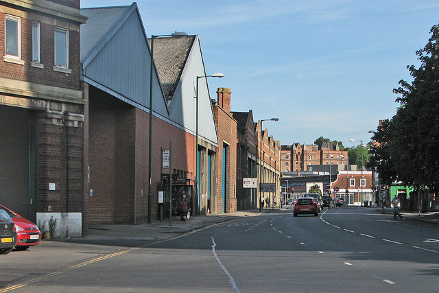
Image: © John Sutton Taken: 16 Aug 2016
Looking towards Sneinton Market from a pedestrian refuge at the corner of Pennyfoot Street. The Nottingham City Transport bus depot is on the left and in the distance the Park View Court tenement shows above the market avenues.
Images are licensed for reuse under creativecommons.org/licenses/by-sa/2.0
Image Location
Latitude
52.95208
Longitude
-1.136385