Springfield Farm, West End, Horsforth
Introduction
The photograph on this page of Springfield Farm, West End, Horsforth by Stephen Craven as part of the Geograph project.
The Geograph project started in 2005 with the aim of publishing, organising and preserving representative images for every square kilometre of Great Britain, Ireland and the Isle of Man.

There are currently over 7.5m images from over 14,400 individuals and you can help contribute to the project by visiting https://www.geograph.org.uk
Springfield Farm, West End, Horsforth
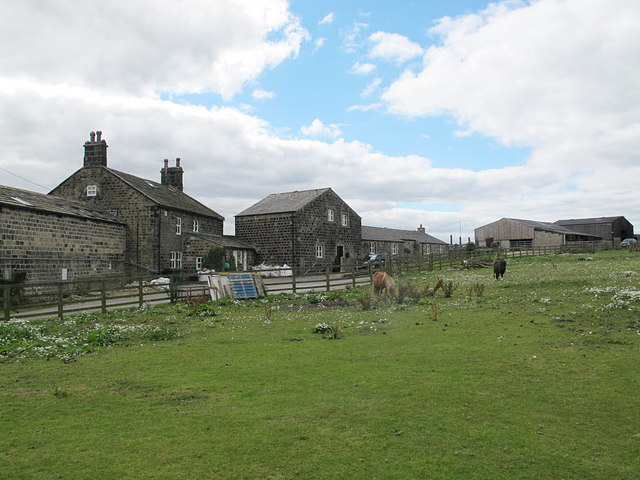
Image: © Stephen Craven Taken: 14 Aug 2016
The 18th century farmhouse (left) is listed grade 2 (list entry 1240147). The map with the list entry suggests it is the building in the centre of this photo but the description matches the building to the left, of which this is the rear view.
Images are licensed for reuse under creativecommons.org/licenses/by-sa/2.0
Image Location
Latitude
53.843243
Longitude
-1.656333