Grain crop in field east of Warburton Bridge Road
Introduction
The photograph on this page of Grain crop in field east of Warburton Bridge Road by Trevor Littlewood as part of the Geograph project.
The Geograph project started in 2005 with the aim of publishing, organising and preserving representative images for every square kilometre of Great Britain, Ireland and the Isle of Man.

There are currently over 7.5m images from over 14,400 individuals and you can help contribute to the project by visiting https://www.geograph.org.uk
Grain crop in field east of Warburton Bridge Road
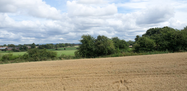
Image: © Trevor Littlewood Taken: 13 Aug 2016
A field beside the road on the southern approach to the Warburton High Level Bridge over the Manchester Ship Canal.
Images are licensed for reuse under creativecommons.org/licenses/by-sa/2.0
Image Location
Latitude
53.405764
Longitude
-2.45648