Path, Black Hurworth
Introduction
The photograph on this page of Path, Black Hurworth by Richard Webb as part of the Geograph project.
The Geograph project started in 2005 with the aim of publishing, organising and preserving representative images for every square kilometre of Great Britain, Ireland and the Isle of Man.

There are currently over 7.5m images from over 14,400 individuals and you can help contribute to the project by visiting https://www.geograph.org.uk
Path, Black Hurworth
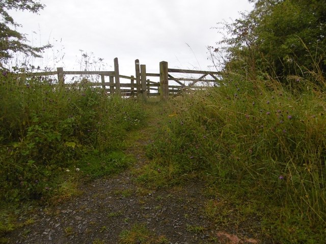
Image: © Richard Webb Taken: 9 Aug 2016
The 1:25,000 map implies a bridge here and as the railway was in a cutting there may well have been one once to carry the path over.
Images are licensed for reuse under creativecommons.org/licenses/by-sa/2.0
Image Location
Latitude
54.7017
Longitude
-1.364685