Fields near Wingate
Introduction
The photograph on this page of Fields near Wingate by Richard Webb as part of the Geograph project.
The Geograph project started in 2005 with the aim of publishing, organising and preserving representative images for every square kilometre of Great Britain, Ireland and the Isle of Man.

There are currently over 7.5m images from over 14,400 individuals and you can help contribute to the project by visiting https://www.geograph.org.uk
Fields near Wingate
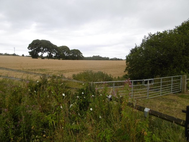
Image: © Richard Webb Taken: 9 Aug 2016
The Hartlepool Railway and Docks Company Railway trackbed passes Wingate to the east, curving round towards Castle Eden and a descent to the coast. There is some arable land beside the A19.
Images are licensed for reuse under creativecommons.org/licenses/by-sa/2.0
Image Location


Leaflet Map data © OpenStreetMap
Latitude
54.731234
Longitude
-1.358477