Instaple Cross
Introduction
The photograph on this page of Instaple Cross by Derek Harper as part of the Geograph project.
The Geograph project started in 2005 with the aim of publishing, organising and preserving representative images for every square kilometre of Great Britain, Ireland and the Isle of Man.

There are currently over 7.5m images from over 14,400 individuals and you can help contribute to the project by visiting https://www.geograph.org.uk
Instaple Cross
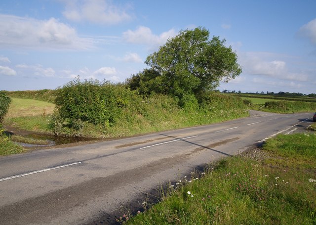
Image: © Derek Harper Taken: 24 Jul 2007
Another view of Image looking the other way. The lane on the left is signed to Alfardisworthy but also provides an alternative route to Hartland. Just to the right of the tree, one of Image can perhaps be made out.
Images are licensed for reuse under creativecommons.org/licenses/by-sa/2.0
Image Location


Leaflet Map data © OpenStreetMap
Latitude
50.882062
Longitude
-4.395989