Former Somerset and Dorset railway bridge
Introduction
The photograph on this page of Former Somerset and Dorset railway bridge by Ant Basterfield as part of the Geograph project.
The Geograph project started in 2005 with the aim of publishing, organising and preserving representative images for every square kilometre of Great Britain, Ireland and the Isle of Man.

There are currently over 7.5m images from over 14,400 individuals and you can help contribute to the project by visiting https://www.geograph.org.uk
Former Somerset and Dorset railway bridge
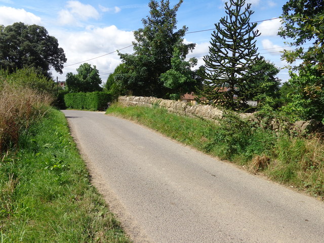
Image: © Ant Basterfield Taken: 10 Aug 2016
Here at Wyke Campflower west of Bruton is the road under which the former S and D Railway used to run. On the right hand side of the Bridge all of the former cutting has been infilled as is seen be the healthy growth of trees whereas on the left what's left of the trackbed is overgrown and part filled with water.
Images are licensed for reuse under creativecommons.org/licenses/by-sa/2.0
Image Location
Latitude
51.107433
Longitude
-2.486456