View across the town of Keighley
Introduction
The photograph on this page of View across the town of Keighley by Mat Fascione as part of the Geograph project.
The Geograph project started in 2005 with the aim of publishing, organising and preserving representative images for every square kilometre of Great Britain, Ireland and the Isle of Man.

There are currently over 7.5m images from over 14,400 individuals and you can help contribute to the project by visiting https://www.geograph.org.uk
View across the town of Keighley
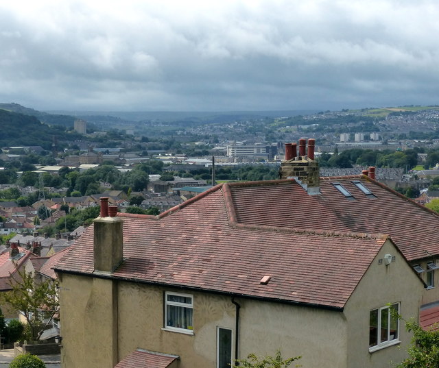
Image: © Mat Fascione Taken: 13 Aug 2016
Viewed from Scholars Way in Riddlesden, a suburb of Keighley, on the steep northern slopes of the River Aire valley.
Images are licensed for reuse under creativecommons.org/licenses/by-sa/2.0
Image Location
Latitude
53.879089
Longitude
-1.882686