Cycle way off Potternewton Lane
Introduction
The photograph on this page of Cycle way off Potternewton Lane by Stephen Craven as part of the Geograph project.
The Geograph project started in 2005 with the aim of publishing, organising and preserving representative images for every square kilometre of Great Britain, Ireland and the Isle of Man.

There are currently over 7.5m images from over 14,400 individuals and you can help contribute to the project by visiting https://www.geograph.org.uk
Cycle way off Potternewton Lane
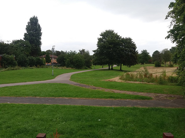
Image: © Stephen Craven Taken: 21 Jul 2016
This section of the Alwoodley cycle path runs for 650m alongside the Stain Beck from Potternewton Lane to Stainbeck Lane.
Images are licensed for reuse under creativecommons.org/licenses/by-sa/2.0
Image Location
Latitude
53.82702
Longitude
-1.559994