Buslingthorpe Lane
Introduction
The photograph on this page of Buslingthorpe Lane by Stephen Craven as part of the Geograph project.
The Geograph project started in 2005 with the aim of publishing, organising and preserving representative images for every square kilometre of Great Britain, Ireland and the Isle of Man.

There are currently over 7.5m images from over 14,400 individuals and you can help contribute to the project by visiting https://www.geograph.org.uk
Buslingthorpe Lane
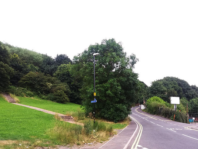
Image: © Stephen Craven Taken: 21 Jul 2016
Looking uphill from the junction with Scott Hall Street. The blue sign in the middle of the photo is a direction sign to the city centre for cyclists on the Alwoodley route.
Images are licensed for reuse under creativecommons.org/licenses/by-sa/2.0
Image Location
Latitude
53.815543
Longitude
-1.543407