Driveway to Saintbury Grounds
Introduction
The photograph on this page of Driveway to Saintbury Grounds by David P Howard as part of the Geograph project.
The Geograph project started in 2005 with the aim of publishing, organising and preserving representative images for every square kilometre of Great Britain, Ireland and the Isle of Man.

There are currently over 7.5m images from over 14,400 individuals and you can help contribute to the project by visiting https://www.geograph.org.uk
Driveway to Saintbury Grounds
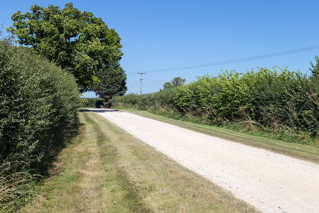
Image: © David P Howard Taken: 12 Aug 2016
View north east up the driveway towards its junction with the B4035. The northern edge of the grid square is just beyond the large tree on the left. The driveway is also a public footpath at this point.
Images are licensed for reuse under creativecommons.org/licenses/by-sa/2.0
Image Location
Latitude
52.075987
Longitude
-1.842373