Pitch Pond/Garden Ground
Introduction
The photograph on this page of Pitch Pond/Garden Ground by Simon Carey as part of the Geograph project.
The Geograph project started in 2005 with the aim of publishing, organising and preserving representative images for every square kilometre of Great Britain, Ireland and the Isle of Man.

There are currently over 7.5m images from over 14,400 individuals and you can help contribute to the project by visiting https://www.geograph.org.uk
Pitch Pond/Garden Ground
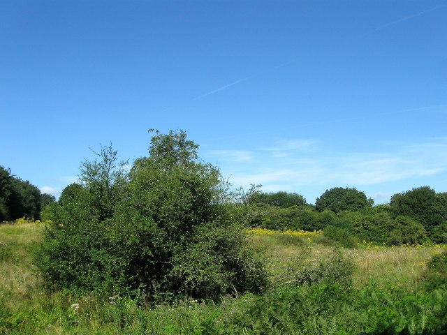
Image: © Simon Carey Taken: 9 Aug 2016
The name of the fields according to West Grinstead's 1841 tithe map that are separated by a small stream, a tributary of the River Adur. Pitch Pond was in the foreground on the eastern side adjacent to Rookcross Lane whilst Garden Ground was to the west next to the modern A24. The former suggests the ground was once a pond. To the south east is Image
Images are licensed for reuse under creativecommons.org/licenses/by-sa/2.0
Image Location
Latitude
50.972427
Longitude
-0.343091