Grazing grassland with view to Mull and a CalMac Ferry.
Introduction
The photograph on this page of Grazing grassland with view to Mull and a CalMac Ferry. by Kathy E as part of the Geograph project.
The Geograph project started in 2005 with the aim of publishing, organising and preserving representative images for every square kilometre of Great Britain, Ireland and the Isle of Man.

There are currently over 7.5m images from over 14,400 individuals and you can help contribute to the project by visiting https://www.geograph.org.uk
Grazing grassland with view to Mull and a CalMac Ferry.
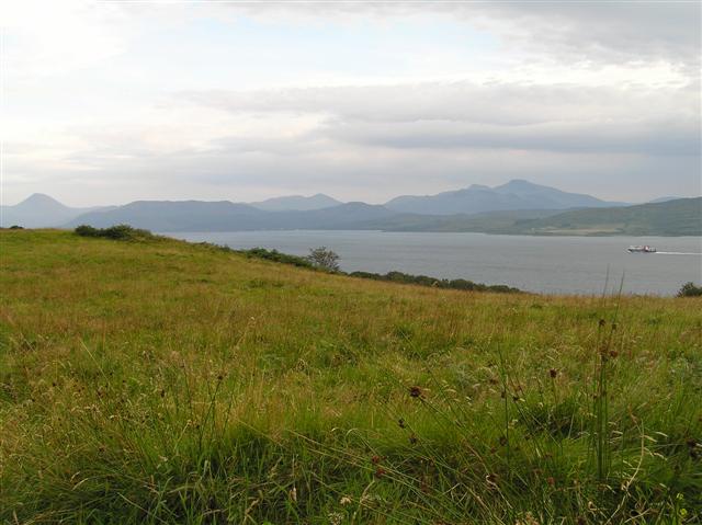
Image: © Kathy E Taken: 3 Sep 2005
This square consists of coastline with deciduous woodland (visible at the foot of the hill) and a steepish grassy hill that is used for grazing. The Ferry is the Caledonian MacBrayne service from South Uist to Oban. Mull is visible beyond.
Images are licensed for reuse under creativecommons.org/licenses/by-sa/2.0
Image Location


Leaflet Map data © OpenStreetMap
Latitude
56.595734
Longitude
-5.963322