Becket Court roundabout, Pucklechurch
Introduction
The photograph on this page of Becket Court roundabout, Pucklechurch by Jaggery as part of the Geograph project.
The Geograph project started in 2005 with the aim of publishing, organising and preserving representative images for every square kilometre of Great Britain, Ireland and the Isle of Man.

There are currently over 7.5m images from over 14,400 individuals and you can help contribute to the project by visiting https://www.geograph.org.uk
Becket Court roundabout, Pucklechurch
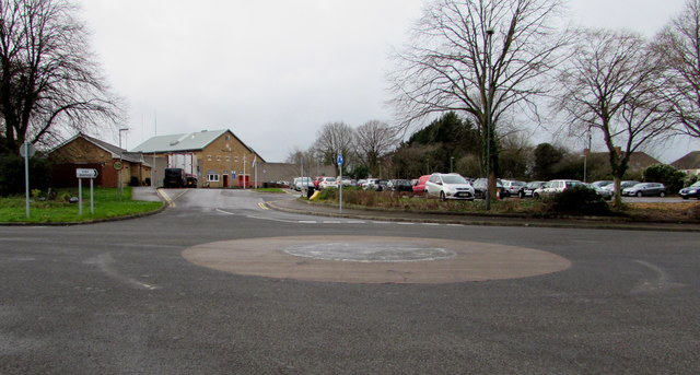
Image: © Jaggery Taken: 5 Feb 2016
Located 60 metres SE of the B4465. HMP Ashfield is ahead. http://www.geograph.org.uk/photo/5067559
Images are licensed for reuse under creativecommons.org/licenses/by-sa/2.0
Image Location


Leaflet Map data © OpenStreetMap
Latitude
51.482855
Longitude
-2.437735