Wyndham Park, Grantham, Lincs.
Introduction
The photograph on this page of Wyndham Park, Grantham, Lincs. by David Hallam-Jones as part of the Geograph project.
The Geograph project started in 2005 with the aim of publishing, organising and preserving representative images for every square kilometre of Great Britain, Ireland and the Isle of Man.

There are currently over 7.5m images from over 14,400 individuals and you can help contribute to the project by visiting https://www.geograph.org.uk
Wyndham Park, Grantham, Lincs.
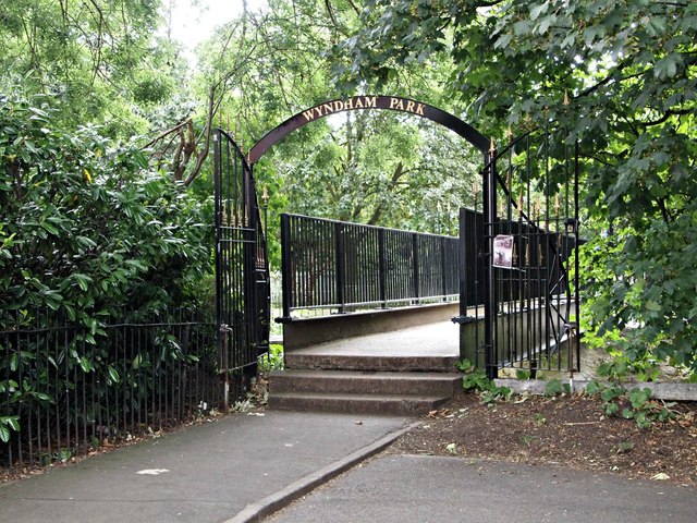
Image: © David Hallam-Jones Taken: 9 Aug 2016
Redress Street is a residential cul-de-sac composed of terraced housing that runs from Wyndham Park to Castlegate, near to one of the King's School buildings. This footbridge crosses the River Witham and on the opposite bank users are either able to turn right and then to follow a riverside path towards the Grantham College vicinity of the town centre, or to turn to the left if wishing to reach Wyndham Park. The path is named Lloyd Ramsden Walk, in honour of 1956's Mayor of Grantham.
Images are licensed for reuse under creativecommons.org/licenses/by-sa/2.0
Image Location
Latitude
52.916483
Longitude
-0.637527