The top of Malin Hill
Introduction
The photograph on this page of The top of Malin Hill by John Sutton as part of the Geograph project.
The Geograph project started in 2005 with the aim of publishing, organising and preserving representative images for every square kilometre of Great Britain, Ireland and the Isle of Man.

There are currently over 7.5m images from over 14,400 individuals and you can help contribute to the project by visiting https://www.geograph.org.uk
The top of Malin Hill
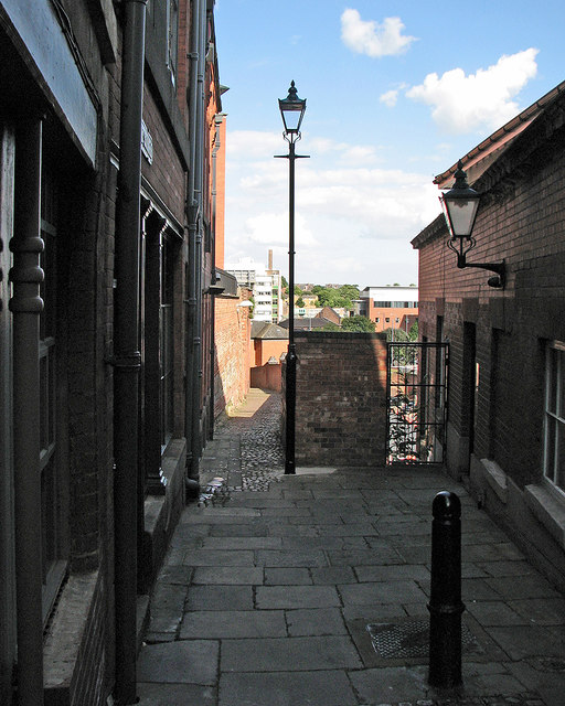
Image: © John Sutton Taken: 8 Aug 2016
Sunlight and shadow on an August afternoon. Malin Hill is an ancient - and at its top end narrow - thoroughfare running diagonally down the face of the sandstone bluff on which The Lace Market (the centre of the Saxon burgh) stands.
Images are licensed for reuse under creativecommons.org/licenses/by-sa/2.0
Image Location
Latitude
52.950596
Longitude
-1.142517