The downstream side of the bridge
Introduction
The photograph on this page of The downstream side of the bridge by David Luther Thomas as part of the Geograph project.
The Geograph project started in 2005 with the aim of publishing, organising and preserving representative images for every square kilometre of Great Britain, Ireland and the Isle of Man.

There are currently over 7.5m images from over 14,400 individuals and you can help contribute to the project by visiting https://www.geograph.org.uk
The downstream side of the bridge
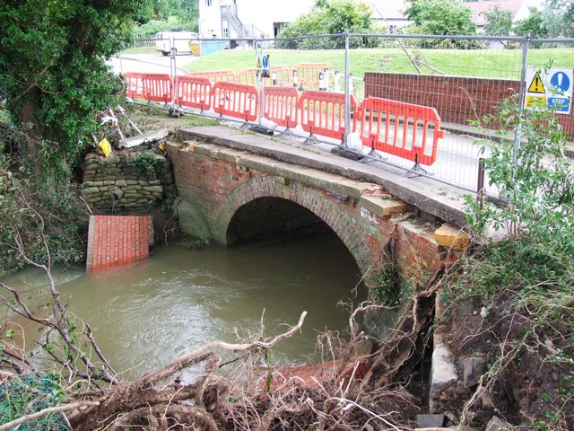
Image: © David Luther Thomas Taken: 25 Jul 2007
This is the remains of the bridge over the River Isbourne following the floods caused by the heavy rain on Friday 20th July 2007. The bridge parapet has been washed away, part of it can be seen in the river.
Images are licensed for reuse under creativecommons.org/licenses/by-sa/2.0
Image Location
Latitude
52.059545
Longitude
-1.967574