Caunton Mill
Introduction
The photograph on this page of Caunton Mill by Graham Hogg as part of the Geograph project.
The Geograph project started in 2005 with the aim of publishing, organising and preserving representative images for every square kilometre of Great Britain, Ireland and the Isle of Man.

There are currently over 7.5m images from over 14,400 individuals and you can help contribute to the project by visiting https://www.geograph.org.uk
Caunton Mill
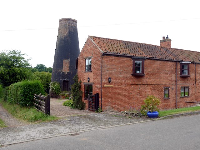
Image: © Graham Hogg Taken: 2 Aug 2016
Also known as Sharp's Mill, this grade II listed building was built in the early 1800s but was out of use by the 1930s.
Images are licensed for reuse under creativecommons.org/licenses/by-sa/2.0
Image Location
Latitude
53.135504
Longitude
-0.891604