Crop Field Adjoining Kirk Croft Road
Introduction
The photograph on this page of Crop Field Adjoining Kirk Croft Road by Jonathan Clitheroe as part of the Geograph project.
The Geograph project started in 2005 with the aim of publishing, organising and preserving representative images for every square kilometre of Great Britain, Ireland and the Isle of Man.

There are currently over 7.5m images from over 14,400 individuals and you can help contribute to the project by visiting https://www.geograph.org.uk
Crop Field Adjoining Kirk Croft Road
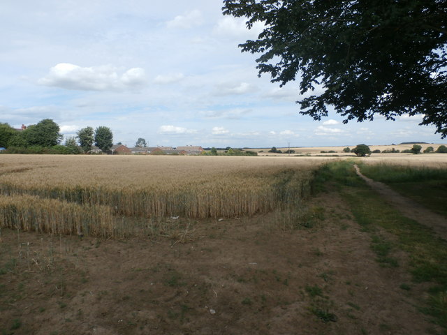
Image: © Jonathan Clitheroe Taken: 5 Aug 2016
Wheat field and bridleway near Laughton en le Morthen. Houses on the fringes of the village can be seen on the left.
Images are licensed for reuse under creativecommons.org/licenses/by-sa/2.0
Image Location
Latitude
53.383643
Longitude
-1.213225