Fernden Lane
Introduction
The photograph on this page of Fernden Lane by Peter Trimming as part of the Geograph project.
The Geograph project started in 2005 with the aim of publishing, organising and preserving representative images for every square kilometre of Great Britain, Ireland and the Isle of Man.

There are currently over 7.5m images from over 14,400 individuals and you can help contribute to the project by visiting https://www.geograph.org.uk
Fernden Lane
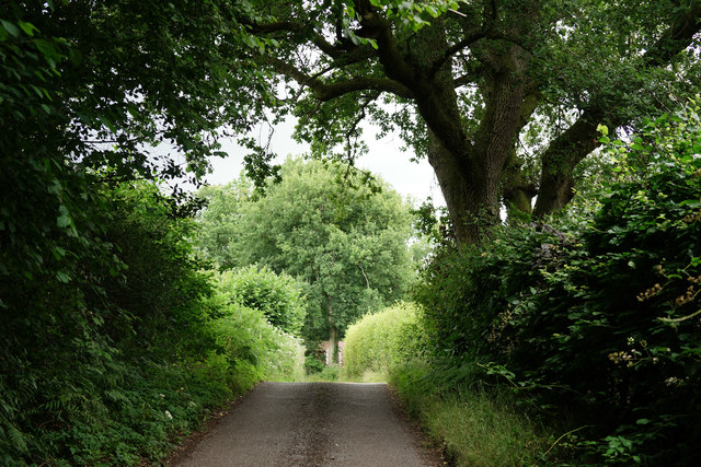
Image: © Peter Trimming Taken: 4 Aug 2016
Located at the western edge of Black Down, the view is towards Haslemere.
Images are licensed for reuse under creativecommons.org/licenses/by-sa/2.0
Image Location
Latitude
51.063587
Longitude
-0.703899