Houses in Chapel Close, Nailsea
Introduction
The photograph on this page of Houses in Chapel Close, Nailsea by David Smith as part of the Geograph project.
The Geograph project started in 2005 with the aim of publishing, organising and preserving representative images for every square kilometre of Great Britain, Ireland and the Isle of Man.

There are currently over 7.5m images from over 14,400 individuals and you can help contribute to the project by visiting https://www.geograph.org.uk
Houses in Chapel Close, Nailsea
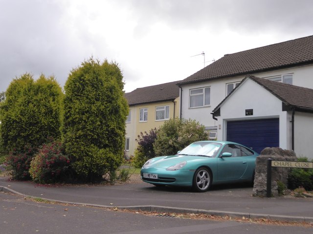
Image: © David Smith Taken: 26 Jul 2016
Residential road which takes its name from the nearby URC chapel; the car numberplate has been blurred for privacy
Images are licensed for reuse under creativecommons.org/licenses/by-sa/2.0
Image Location
Latitude
51.43464
Longitude
-2.758796