Nye Road, Sandford
Introduction
The photograph on this page of Nye Road, Sandford by Derek Harper as part of the Geograph project.
The Geograph project started in 2005 with the aim of publishing, organising and preserving representative images for every square kilometre of Great Britain, Ireland and the Isle of Man.

There are currently over 7.5m images from over 14,400 individuals and you can help contribute to the project by visiting https://www.geograph.org.uk
Nye Road, Sandford
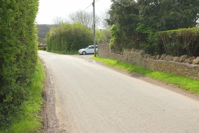
Image: © Derek Harper Taken: 3 May 2016
Looking in the other direction from the same place as Image], showing the spot at which the Strawberry Line and NCN26 part company for about 700 metres. The cycle route turns right along the track where the car is parked, while the trail turns right 80 metres further on.
Images are licensed for reuse under creativecommons.org/licenses/by-sa/2.0
Image Location


Leaflet Map data © OpenStreetMap
Latitude
51.335935
Longitude
-2.834394