Woodland, The Cliffe
Introduction
The photograph on this page of Woodland, The Cliffe by Richard Webb as part of the Geograph project.
The Geograph project started in 2005 with the aim of publishing, organising and preserving representative images for every square kilometre of Great Britain, Ireland and the Isle of Man.

There are currently over 7.5m images from over 14,400 individuals and you can help contribute to the project by visiting https://www.geograph.org.uk
Woodland, The Cliffe
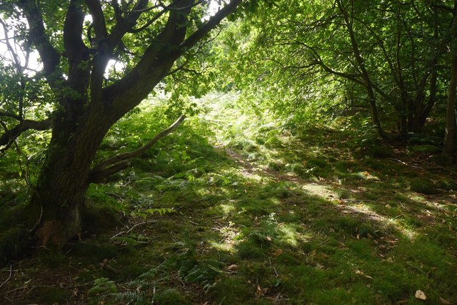
Image: © Richard Webb Taken: 31 Jul 2016
Much of the hill is now wooded, but only Wrekin Orienteers' fine map shows this. The map can usually be found on Wrekin Orienteers' routegadget site.
Images are licensed for reuse under creativecommons.org/licenses/by-sa/2.0
Image Location
Latitude
52.778754
Longitude
-2.900124