The Rise, Partridge Green
Introduction
The photograph on this page of The Rise, Partridge Green by Simon Carey as part of the Geograph project.
The Geograph project started in 2005 with the aim of publishing, organising and preserving representative images for every square kilometre of Great Britain, Ireland and the Isle of Man.

There are currently over 7.5m images from over 14,400 individuals and you can help contribute to the project by visiting https://www.geograph.org.uk
The Rise, Partridge Green
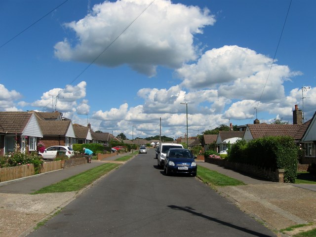
Image: © Simon Carey Taken: 31 Jul 2016
A residential road that begins on Littleworth Lane heads east then turns south. The road was developed in the 1960s on the site of a former field called Long Ladder Field according to West Grinstead's 1841 tithe map. This is viewed from the southern end of the road where the High Street can be accessed via Image
Images are licensed for reuse under creativecommons.org/licenses/by-sa/2.0
Image Location
Latitude
50.962099
Longitude
-0.30031