Upper Tything
Introduction
The photograph on this page of Upper Tything by Trevor Rickard as part of the Geograph project.
The Geograph project started in 2005 with the aim of publishing, organising and preserving representative images for every square kilometre of Great Britain, Ireland and the Isle of Man.

There are currently over 7.5m images from over 14,400 individuals and you can help contribute to the project by visiting https://www.geograph.org.uk
Upper Tything
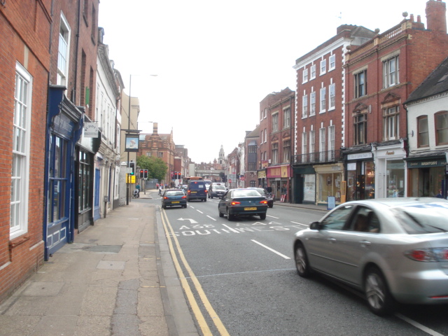
Image: © Trevor Rickard Taken: 7 Jul 2007
This is the Indian restaurant capital of Worcester, with many good ones along this street. Looking southwards towards the railway bridge at Foregate Street.
Images are licensed for reuse under creativecommons.org/licenses/by-sa/2.0
Image Location
Latitude
52.196444
Longitude
-2.223066