Little Warley Common
Introduction
The photograph on this page of Little Warley Common by Glyn Baker as part of the Geograph project.
The Geograph project started in 2005 with the aim of publishing, organising and preserving representative images for every square kilometre of Great Britain, Ireland and the Isle of Man.

There are currently over 7.5m images from over 14,400 individuals and you can help contribute to the project by visiting https://www.geograph.org.uk
Little Warley Common
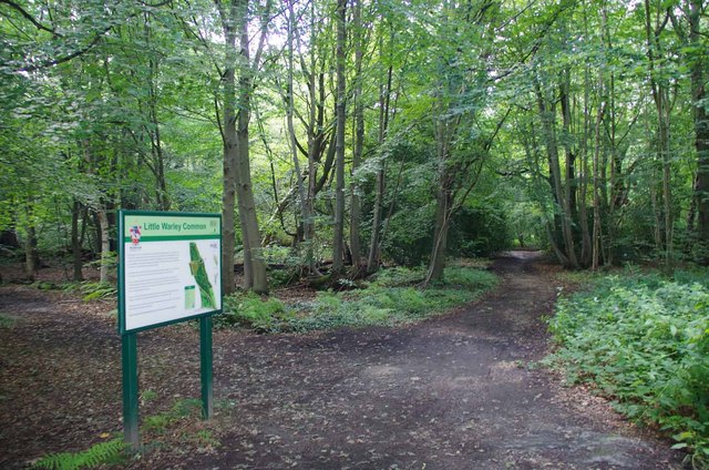
Image: © Glyn Baker Taken: 3 Aug 2016
This is the Northern end of Little Warley Common, near Heart's Wood. Little Warley Common was used for grazing until the late 1800's. There is now more than a hundred years worth of trees growing over it. However at the southern end there is still Image in other parts the grassland is maintained by mowing see Image The habitat is maintained by Brentwood Council.
Images are licensed for reuse under creativecommons.org/licenses/by-sa/2.0
Image Location
Latitude
51.599598
Longitude
0.314401