A49, Hadnall
Introduction
The photograph on this page of A49, Hadnall by David Dixon as part of the Geograph project.
The Geograph project started in 2005 with the aim of publishing, organising and preserving representative images for every square kilometre of Great Britain, Ireland and the Isle of Man.

There are currently over 7.5m images from over 14,400 individuals and you can help contribute to the project by visiting https://www.geograph.org.uk
A49, Hadnall
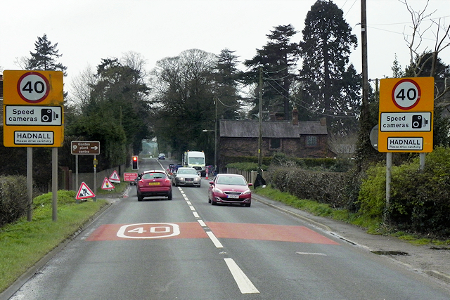
Image: © David Dixon Taken: 11 Apr 2016
Hadnall is a village and civil parish in Shropshire. It lies on the A49, approximately 5½ miles to the north-east of Shrewsbury. At the 2011 census, the population of the civil parish at the 2011 census was 688 (http://www.neighbourhood.statistics.gov.uk/dissemination/LeadKeyFigures.do?a=7&b=11124111&c=Hadnall&d=16&e=62&g=6460361&i=1001x1003x1032x1004&m=0&r=1&s=1470226764734&enc=1&nsjs=true&nsck=false&nssvg=false&nswid=1920 Office for National Statistics).
Images are licensed for reuse under creativecommons.org/licenses/by-sa/2.0
Image Location
Latitude
52.783391
Longitude
-2.706584