Shearman Road
Introduction
The photograph on this page of Shearman Road by Ian Capper as part of the Geograph project.
The Geograph project started in 2005 with the aim of publishing, organising and preserving representative images for every square kilometre of Great Britain, Ireland and the Isle of Man.

There are currently over 7.5m images from over 14,400 individuals and you can help contribute to the project by visiting https://www.geograph.org.uk
Shearman Road
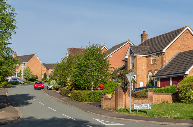
Image: © Ian Capper Taken: 19 May 2016
Late 1980s or early 1990s housing off Parys Road.
Images are licensed for reuse under creativecommons.org/licenses/by-sa/2.0
Image Location
Latitude
52.368851
Longitude
-2.69939