St Mary's RC Church, Knockmoyle
Introduction
The photograph on this page of St Mary's RC Church, Knockmoyle by Kenneth Allen as part of the Geograph project.
The Geograph project started in 2005 with the aim of publishing, organising and preserving representative images for every square kilometre of Great Britain, Ireland and the Isle of Man.

There are currently over 7.5m images from over 14,400 individuals and you can help contribute to the project by visiting https://www.geograph.org.uk
St Mary's RC Church, Knockmoyle
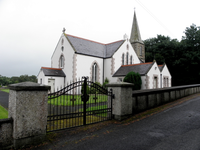
Image: © Kenneth Allen Taken: 2 Aug 2016
Pictured along Knockmoyle Road - a start of a small walk taking in the townlands of Knockmoyle, Farrest, Tantramurry and Tattynagole I had to wait for several minutes in the church car park as I was struggling to get a signal on my gps meter before I set off.
Images are licensed for reuse under creativecommons.org/licenses/by-sa/2.0
Image Location
Latitude
54.651353
Longitude
-7.314765