Recreation Ground Under Flood, Upton-upon-Severn
Introduction
The photograph on this page of Recreation Ground Under Flood, Upton-upon-Severn by Bob Embleton as part of the Geograph project.
The Geograph project started in 2005 with the aim of publishing, organising and preserving representative images for every square kilometre of Great Britain, Ireland and the Isle of Man.

There are currently over 7.5m images from over 14,400 individuals and you can help contribute to the project by visiting https://www.geograph.org.uk
Recreation Ground Under Flood, Upton-upon-Severn
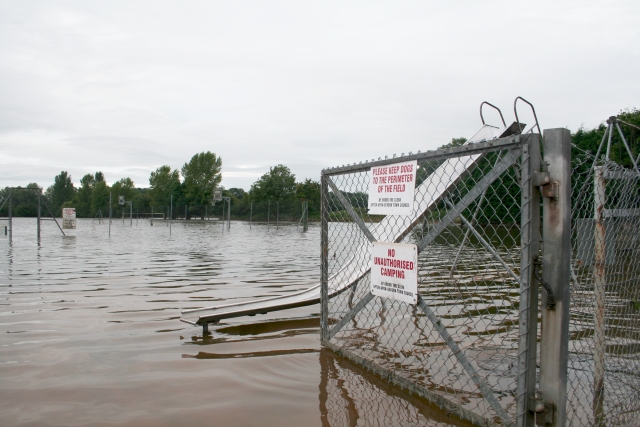
Image: © Bob Embleton Taken: 25 Jul 2007
The low lying land around the town is put to good use. Slides, tennis courts, rugby pitches, etc take and dissipate the bulges in the river Severn after storms or winter thaws.
Images are licensed for reuse under creativecommons.org/licenses/by-sa/2.0
Image Location


Leaflet Map data © OpenStreetMap
Latitude
52.062582
Longitude
-2.219189