New housing development, Sowerby
Introduction
The photograph on this page of New housing development, Sowerby by Gordon Hatton as part of the Geograph project.
The Geograph project started in 2005 with the aim of publishing, organising and preserving representative images for every square kilometre of Great Britain, Ireland and the Isle of Man.

There are currently over 7.5m images from over 14,400 individuals and you can help contribute to the project by visiting https://www.geograph.org.uk
New housing development, Sowerby
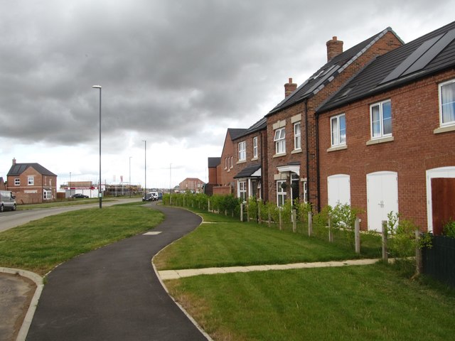
Image: © Gordon Hatton Taken: 27 Jul 2016
Areas to either side of Topcliffe Road in Sowerby on the edge of Thirsk are undergoing extensive housing and commercial development. On the west side of the road is a rapidly growing housing estate full of uninspiring designs, and many with 'slate' roofing in an area which traditionally has pantiled roofs.
Images are licensed for reuse under creativecommons.org/licenses/by-sa/2.0
Image Location
Latitude
54.220372
Longitude
-1.352156