Former East Lodge to Cowick Hall
Introduction
The photograph on this page of Former East Lodge to Cowick Hall by Alan Murray-Rust as part of the Geograph project.
The Geograph project started in 2005 with the aim of publishing, organising and preserving representative images for every square kilometre of Great Britain, Ireland and the Isle of Man.

There are currently over 7.5m images from over 14,400 individuals and you can help contribute to the project by visiting https://www.geograph.org.uk
Former East Lodge to Cowick Hall
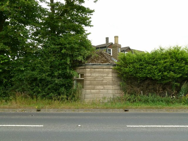
Image: © Alan Murray-Rust Taken: 28 Jul 2016
The octagonal building, rather overgrown, is one of a pair either side of the original gateway. The newer part of the building just visible over the top of the hedge was built on the line of the original roadway. The original part dates from around 1752-60, Listed Grade II.
Images are licensed for reuse under creativecommons.org/licenses/by-sa/2.0
Image Location
Latitude
53.686698
Longitude
-1.002563