Cemetery wilderness
Introduction
The photograph on this page of Cemetery wilderness by Natasha Ceridwen de Chroustchoff as part of the Geograph project.
The Geograph project started in 2005 with the aim of publishing, organising and preserving representative images for every square kilometre of Great Britain, Ireland and the Isle of Man.

There are currently over 7.5m images from over 14,400 individuals and you can help contribute to the project by visiting https://www.geograph.org.uk
Cemetery wilderness
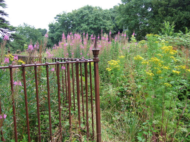
Image: © Natasha Ceridwen de Chroustchoff Taken: 21 Jul 2007
The cemetery that was locked in February Image was open this time, overgrown with colourful ragwort and rosebay willowherb growing unchecked over the neglected graves.
Images are licensed for reuse under creativecommons.org/licenses/by-sa/2.0
Image Location
Latitude
51.797971
Longitude
-4.977304